Recent Work
View full portfolio →
A whole new perspective on Costa Rica's beauty.
Capture the true scale of your property with high-resolution aerial 360s.
Contextualize your location from hundreds of feet in the air.
Show proximity to beaches, mountains, or cities with breathtaking panoramas.
Convey the true size of large-scale projects that ground-level photography miss.
Showcase luxury villas and large-scale developments. Highlight the proximity to the ocean and local landmarks in a single, high-altitude 360° view.
Give guests a sense of the entire resort layout. Aerial 360s are perfect for showing the distance between the beach, pool, and guest suites.
Capture the vast scale of Costa Rica's natural beauty. Drone 360s show the entire landscape of a tour route, from rainforest canopy to mountain peaks.
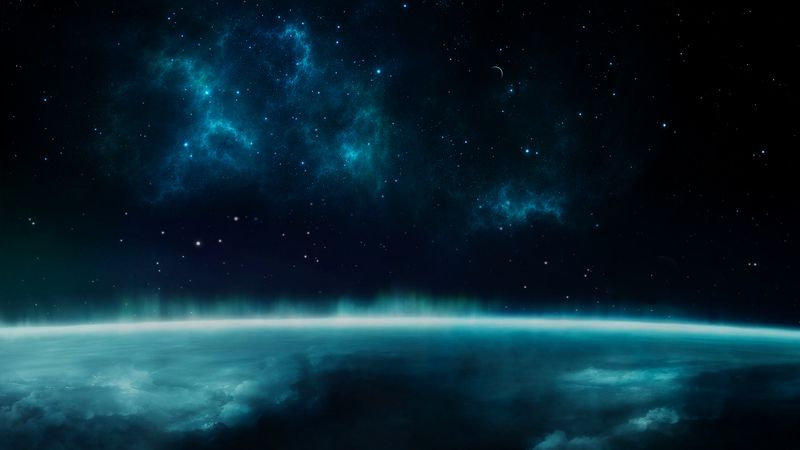
It's an aerial panorama that allows users to look in every direction—up, down, and all around—from a bird's-eye view, providing a complete sense of location.
Yes, all our drone operations are conducted by experienced, safety-focused pilots familiar with local regulations and terrain.
Yes, we use specialized 360° drone rigs to capture immersive 8K aerial video, perfect for showcasing the scale and beauty of Costa Rica properties.
Every project includes our standard production process — captured to professional spec, delivered web-ready, supported after launch.
DJI Mavic 3 Pro Cine + Inspire 3 for cinematic aerials. Insurance-backed, MICITT-licensed, and flying legally in restricted Costa Rica airspace.
Capture entire properties, beach lines, or canopy in a single 360° sphere — viewers can look up at the sky and down at the pool.
Smooth orbit, reveal, and fly-through shots that show your property the way Apple shows products.
We've flown over volcanoes, waterfalls, and dense canopy. Costa Rica's geography is no obstacle.
MICITT drone license, $2M liability insurance, and respect for every national park boundary. Zero risk for you.
We obsess about light. Sunrise and sunset shoots are standard — your aerials will look the way they feel on the best day of the year.
Yes, with proper licensing from MICITT and respect for national park rules. We carry both. Some areas (around airports, presidential residence, certain reserves) require special permits — we handle the paperwork.
Most national parks prohibit drone flights without a specific research/commercial permit. We can apply on your behalf — typical lead time is 2-4 weeks.
We use only the quietest drones (Mavic 3 series — ~75dB at altitude) and never fly close to nesting sites or animal aggregations. Wildlife safety is part of our flight planning.
Up to 120 meters AGL (legal limit in Costa Rica). For most architectural shots we stay at 30-80m for the best perspective.
We watch forecasts and reschedule if conditions are unsafe (high wind, rain). Rescheduling is free.
Get in touch for a free consultation and quote for your drone 360° project.