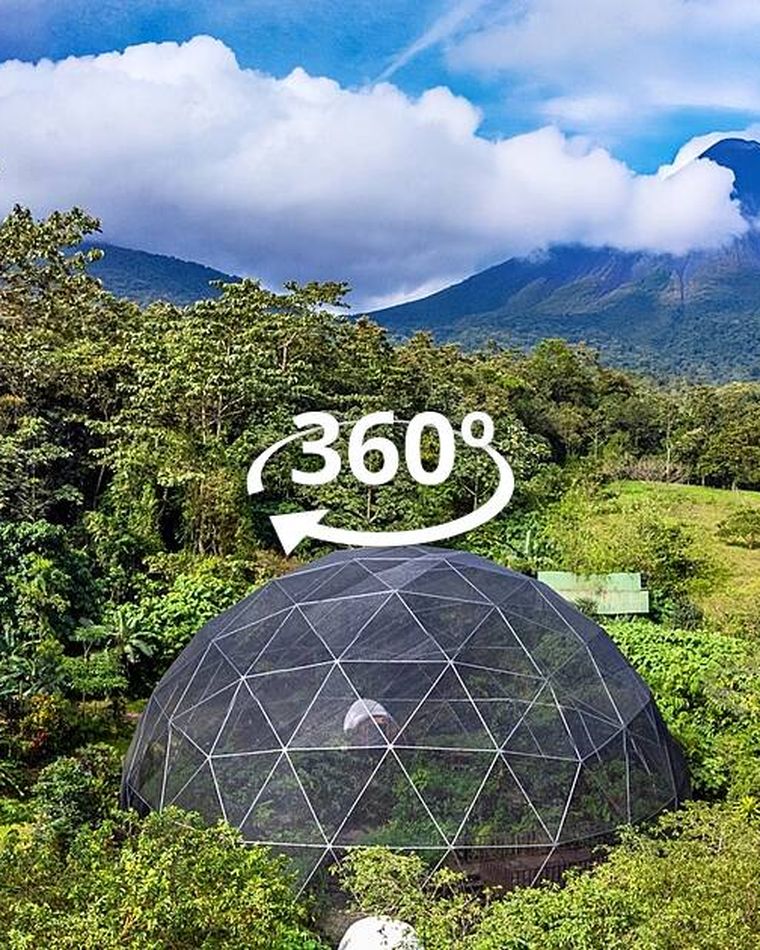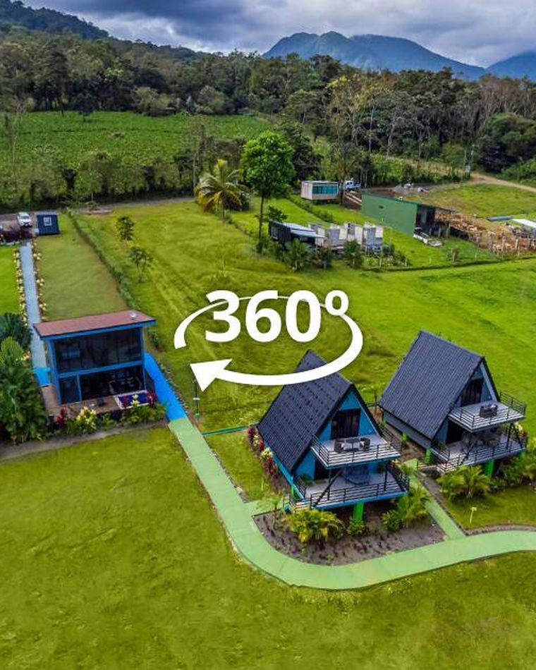
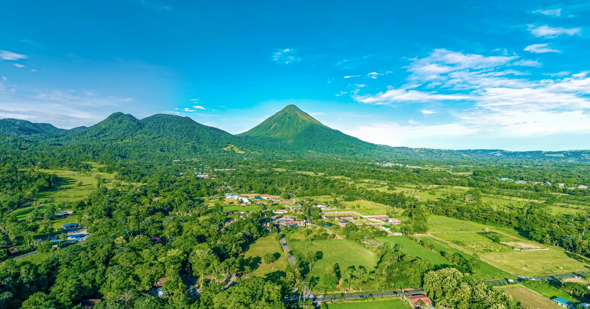
Most property photography answers the question "what does it look like?" An aerial 360° panorama answers a better one: "where am I, and what is around me?" In Costa Rica, where a property's value is often inseparable from the volcano behind it or the forest it backs onto, that second question is the one guests and buyers are really asking.
What an aerial 360° actually is
It is not drone video, and it is not a single wide photo. We fly the drone to a fixed point — typically 30 to 120 metres above the property — and capture a full sphere from that position. The result is a panorama you can drag through in any direction from a viewpoint no person could ever stand in. Tilt down and you see the roofline and the grounds; pan across and you see the access road, the neighbouring land, and the horizon.
Stitched into an interactive tour, it becomes the establishing shot: visitors start in the air, understand the whole site in one gesture, then drop into the interior scenes already knowing how everything connects.
Why it changes the sale
Three things an aerial 360° communicates that ground photography cannot:
Context and proximity
Distance claims are the least trusted line in any listing. "Ten minutes from the beach" and "views of Arenal" are assertions until someone can look for themselves. From altitude, the beach, the volcano, and the road in are all visible in a single sphere — the claim verifies itself.
The scale of the grounds
Acreage is abstract. A hotel with scattered casitas, a farm with planted rows, or a retreat centre with separate yoga and dining structures reads as a collection of disconnected photos from the ground. From the air it reads as one property, and the guest finally understands what they are booking.
Privacy and setting
For high-end listings, what is not next door matters. An aerial makes the treeline, the absence of neighbours, and the approach road self-evident in a way no floor plan does.
When it is worth commissioning
An aerial 360° earns its place when the surroundings are part of what you are selling: resorts and hotels with grounds, land and estate listings, adventure operators whose terrain is the attraction, farms and agritourism, and retreat centres spread across a site. It adds less for a single interior unit in a dense town, where the interior is the product and the context is not.
What the shoot involves
Aerial work in Costa Rica is regulated by the Dirección General de Aviación Civil, and there are hard limits near airports, over crowds, and inside national parks — some protected areas require specific permission to fly at all. We handle the airspace check as part of scheduling, and we plan flights for the first two hours after sunrise or the last two before sunset, when the light has direction and the trade winds are usually calmest.
On site, a single aerial position takes about twenty minutes including setup, and most properties want two or three: one high establishing sphere, one lower over the main building, and often one over a specific feature — the pool deck, the trailhead, the river frontage.
How it fits the rest of the tour
An aerial rarely stands alone. It works hardest as the entry point of an interactive tour, with hotspots dropping the visitor from the sky into the rooms, the restaurant, or the trail below. That single movement — from the whole property to a specific room, without a page reload — is what makes an immersive tour feel different from a gallery.
Frequently Asked Questions
Do you need a licence to fly a drone commercially in Costa Rica?
Yes. Commercial drone operations in Costa Rica are regulated by the Dirección General de Aviación Civil (DGAC), with restrictions around airports, built-up areas, crowds, and many protected areas. We handle airspace checks and permissions as part of scheduling the shoot.
What is the difference between drone video and an aerial 360° panorama?
Drone video is a fixed path the viewer watches passively. An aerial 360° panorama is captured from a single point in the air and lets the viewer look in any direction themselves, including straight down at the property. Both are useful, but only the panorama can be navigated inside a virtual tour.
What time of day is best for aerial photography in Costa Rica?
The first two hours after sunrise and the last two before sunset. The light has direction and warmth, shadows describe the terrain instead of flattening it, and winds are typically calmest. Midday tropical sun produces harsh contrast and washed-out greens.
Can aerial 360° shots be added to an existing virtual tour?
Yes. Aerial panoramas can be added to a tour that already exists and linked to the ground-level scenes with hotspots, so visitors can move between the overview and the interiors.
Ready to increase your direct bookings?
Get a free 30-minute consultation. We'll plan the perfect 360° experience for your property.
Get a Free Quote